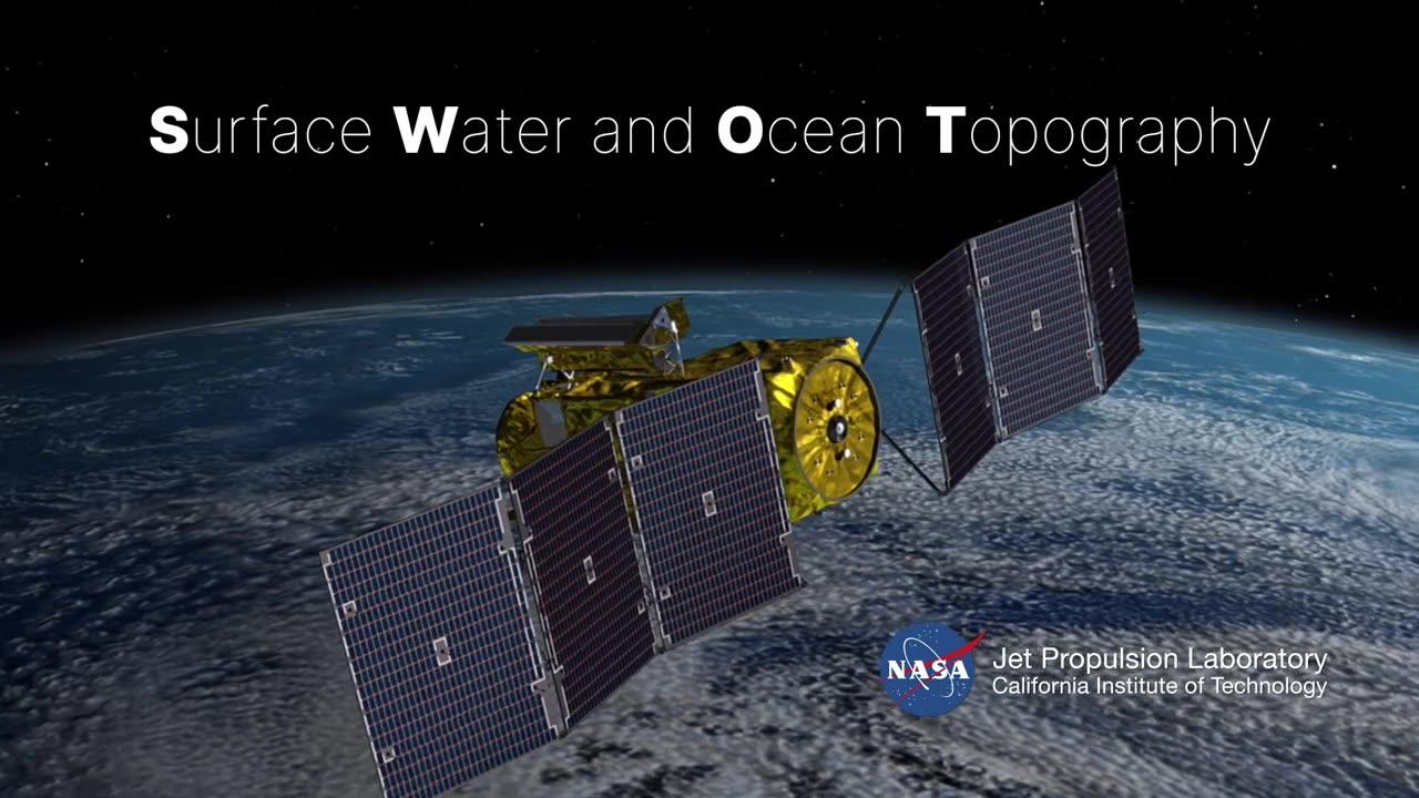
SWOT stands for Surface Water and Ocean Topography, and its applications extend far beyond its acronym.
This state-of-the-art satellite is designed to measure Earth's water surface elevation, enhancing our understanding of oceans, lakes, and rivers.
Through the meticulous collection of water height data, the SWOT satellite equips communities with crucial information for efficient urban planning, flood prediction, and resource management.


