New Google Maps layer shows every wildfire burning

Searching for the latest details about wildfires just got easier on Google Maps — and not just the ones nearby.
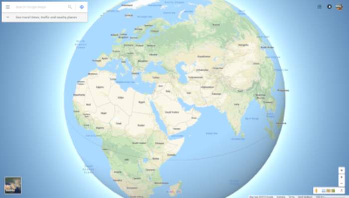
Last year Google added more wildfire info in Google Maps and Search, but only if you looked up a specific fire or pulled up driving directions that went through a fire zone, like the Caldor fire in California —...